SOCIB launches its new Satellite Remote Sensing Facility for continuous ocean and coastal observation

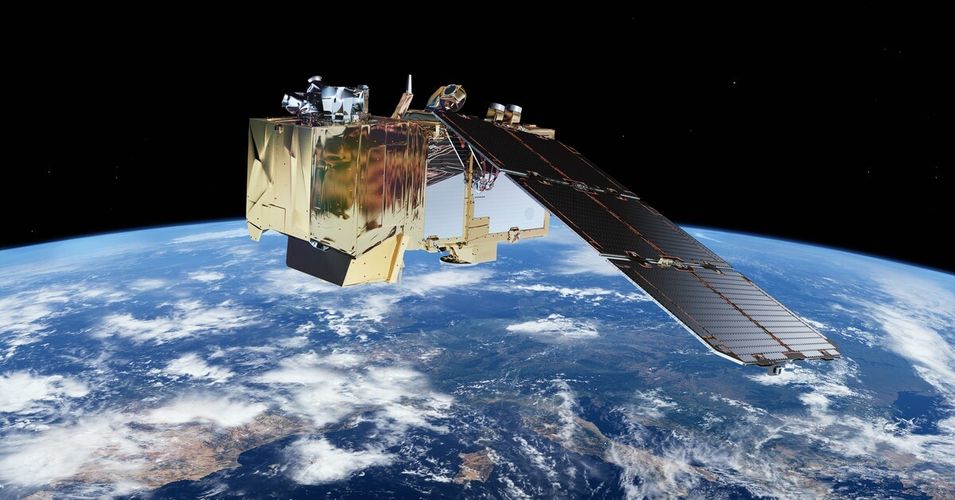
The facility, established at the end of 2024, strengthens marine monitoring capabilities through satellite-based applications. It positions itself as a strategic pillar for the development of digital twins of the ocean, essential for designing solutions to address climate change. Image: The Copernicus Sentinel-2 satellite in orbit. Source: Copernicus EU, ESA.
The Balearic Islands Coastal Observing and Forecasting System (ICTS SOCIB) has launched a new scientific facility dedicated to satellite remote sensing, aimed at processing and analysing satellite data to enable systematic, long-term monitoring of the ocean and coastal areas. This facility represents a strategic advancement in understanding the variability and changes occurring in the marine environment, including extreme phenomena such as marine heatwaves and long-term trends like ocean warming and sea-level rise. Access the Satellite Remote Sensing Facility page to explore its objective, capabilities, applications, collaborations, and the team behind it.
This facility processes and analyzes essential ocean and coastal variables, such as sea surface temperature, salinity, ocean color, sea level, currents, and surface winds, as well as derived indicators by combining satellite products from the Copernicus Marine Service, among others, with multiplatform observations and numerical modeling. “The integration of in situ, remote sensing, and model-predicted data has been one of SOCIB's core activities since its inception. Today, we are working to strengthen this approach, focusing on the integration of these data streams for the development of digital twins of the ocean,” highlights Mélanie Juza, scientist and head of the Satellite Remote Sensing Facility at SOCIB. In addition, progress is being made in incorporating new products derived from satellite imagery to monitor regionally relevant variables in the coastal areas of the Balearic Islands, such as water quality, bathymetry, and the extent of seagrass meadows.
“With this facility, we are taking a further step toward integrated, coordinated observation tailored to societal needs, providing key information for sustainable ocean management,” Juza points out. “This infrastructure is also a fundamental pillar for the development of regional prototypes of ocean digital twins, enabling the simulation and visualization of ocean evolution with greater accuracy and offering solutions to combat climate change,” she adds.
Among its contributions, the facility promotes the development of interactive applications such as “Sub-regional Mediterranean Marine Heatwaves,” which tracks the real-time evolution of marine heatwaves, and “TIAMAT Observatory” focused on monitoring oceanic variables in national parks. These tools provide continuous, updated information across various spatial and temporal scales. “The incorporation of very high-resolution satellite imagery will facilitate the generation of specific datasets for the western Mediterranean and priority coastal areas such as the Balearic Islands. This will improve the accuracy of indicators like water quality, which is key for the ocean digital twins,” explains Juza.
This new facility fits within SOCIB’s strategic vision of offering cutting-edge marine observation, strengthening its network of technological platforms, and reinforcing its commitment to generating useful and open knowledge. “The Satellite Remote Sensing Facility enhances our capacity for space-based ocean observation, complementing other infrastructures such as gliders, Argo floats, buoys, and the oceanographic vessel. It is a key tool to advance in the development of ocean digital twins and to strengthen science-based decision-making in the face of climate change,” concludes Joaquín Tintoré, Director of ICTS SOCIB.


